4.9 Google
Field-flagged & GPS-mapped to the 1987 Army Corps Manual · A formal delineation report, ready for Corps submittal
We'll respond promptly with next steps
Prefer to talk?
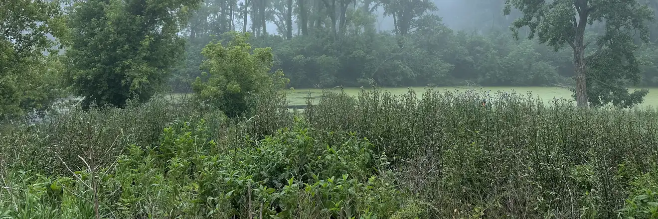
(888) 405-1742Before anyone walks the site, we review government GIS data, soil surveys, aerial imagery, and topography to understand where wetlands are likely to occur on the property. This desktop work targets the field effort and becomes part of the final report.
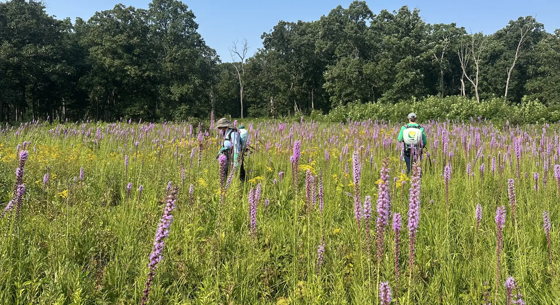
A scientist walks the property and tests the three parameters — hydrophytic vegetation, wetland hydrology, and hydric soils — at paired sample points. Where the wetland conditions end, we flag the boundary and GPS-map the exact line between wetland and upland.
We compile a formal delineation report — methods, results, conclusions, data forms, site photos, and a map of the GPS-located boundary — built to the 1987 USACE Manual and its regional supplement, and structured to be submitted to the Army Corps.
Wetland due diligence runs in sequence — each step escalates only if the one before it warrants it. A desktop Screen flags possible wetlands anywhere in the lower 48; a Confirmation, Delineation, and Jurisdictional Determination are field-based and serve Northern Illinois and the Midwest.
"We were running up against some deadlines, and they jumped through hoops to get everything completed on time."
"The A3E team did a great job on our report. They were quick, thorough and professional."
"They were able to give me all of the information that I needed. Highly recommend A3 Environmental."
Corps-standard method
Small business (WOSB)
Environmental consulting
Google Reviews

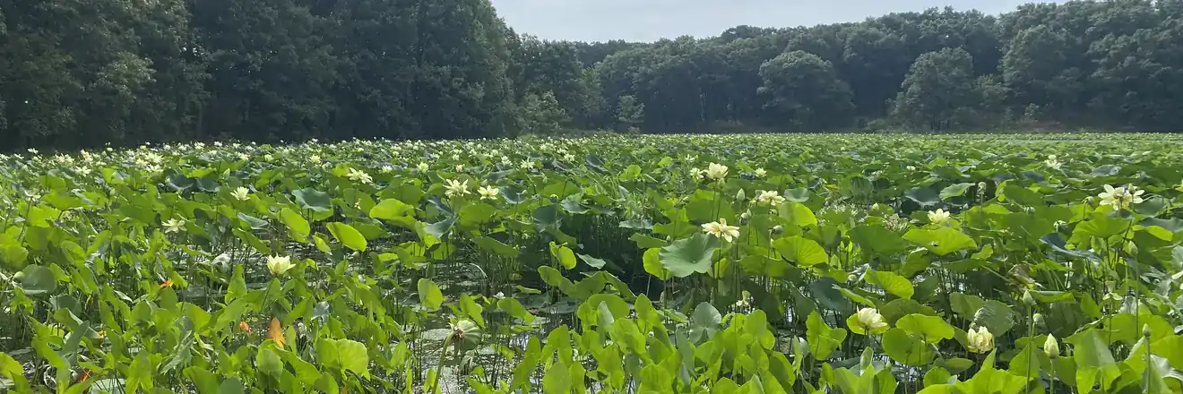
A wetland delineation is the boundary-mapping study at the heart of wetland due diligence. Where a Wetland Screen flags whether wetlands might exist and a Wetland Confirmation verifies whether they are actually present, a delineation answers the harder question: exactly where is the line between wetland and upland? A3 Environmental field crews flag that boundary on the ground and GPS-map it, and the result is a formal delineation report built to the 1987 USACE Wetlands Delineation Manual and its applicable regional supplement — the standard the U.S. Army Corps of Engineers expects.
Under the 1987 Corps Manual, an area is a wetland only if all three parameters are present: hydrophytic (water-loving) vegetation, wetland hydrology, and hydric soils. If any one of the three is absent, it is not a wetland. During the field delineation, a scientist tests all three at paired sample points across the property — recording the dominant plant species, evidence of saturation or inundation, and soil characteristics — to place the boundary precisely where the wetland conditions give way to upland.
The deliverable is a formal delineation report, often around 50 pages, that documents the methods, results, and conclusions of the study. It opens with the desktop analysis — GIS data, soil surveys, aerial imagery, and topography — then presents the field data forms for vegetation, hydrology, and soils at each sample point, site photographs, narratives, and a map showing the GPS-located wetland boundary. The report is structured to be submitted to the Army Corps, which is why getting the method right matters: a clean delineation supports everything that follows.
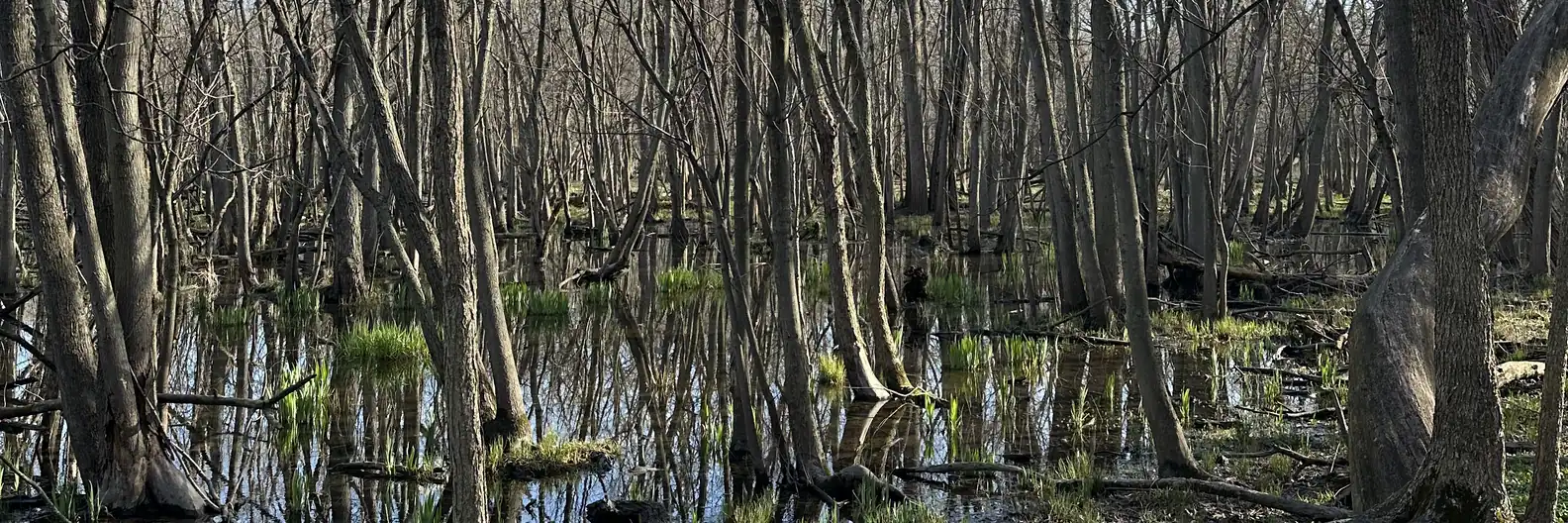
A delineation maps the boundary; it does not by itself decide whether the wetlands are federally regulated. That ruling comes from a Jurisdictional Determination, in which the U.S. Army Corps of Engineers reviews the delineation and determines whether the wetlands are federally jurisdictional under Section 404 of the Clean Water Act. Some wetlands are also regulated locally — for example, by county stormwater agencies in the Chicago area, which can be more stringent than the federal program. A3 Environmental performs wetland delineations across Northern Illinois and the Midwest, generally within about a two-hour radius of Naperville, and will travel for the right project — backed by a 4.9★ Google rating.