4.9 Google
(888) 405-1742

Could There Be Wetlands? Get a Wetland Screen.

A fast, $950 desktop review of eight government GIS databases · No site visit · A clear answer before you buy or build

$950 Flat Fee · No Site Visit · Lower 48 States
8 Government GIS Databases Nationwide Desktop Review Free, No-Obligation Quote
4.9/5 Google
Clear Recommendation
Remote & Nationwide
Woman-Owned

Get Your Wetland Screen Quote

We'll respond promptly with next steps

Please enter a valid email address

Prefer to talk?

(888) 405-1742
More below
5,000+ Reports
4.9★ Google
Lower 48 Coverage
Clear Recommendation

How It Works

1

Locate & Pull the Data

You send us the property address or parcel — no site visit needed. Our scientists locate it precisely and pull eight government GIS data sources, including the U.S. Fish & Wildlife National Wetland Inventory, the NRCS Web Soil Survey, FEMA floodplain maps, USGS topographic maps, and current aerial imagery.

2

Analyze the Indicators

We overlay the data to see whether the property is a known or likely wetland, floodplain, or floodway, and we review antecedent precipitation to judge whether recent conditions were wet, normal, or dry — the context that tells us how to read the mapped indicators.

3

Deliver the Screen Report

You receive a concise screen report stating whether wetlands are a likely concern, with the maps and data behind it — and a clear recommendation: proceed with confidence, or move to a field Wetland Confirmation. A fast, $950 answer before you commit.

A3 Environmental scientists conducting fieldwork at an undeveloped property under wetland evaluation

The Four Wetland Steps

Wetland due diligence runs in sequence — each step escalates only if the one before it warrants it. A desktop Screen flags possible wetlands anywhere in the lower 48; a Confirmation, Delineation, and Jurisdictional Determination are field-based and serve Northern Illinois and the Midwest.

You are here
Step 1
Wetland Screen
A desktop review of government GIS data to flag whether a property may contain wetlands — no site visit.
$950
Flat fee · lower 48 states.
  • How: Remote desktop review
  • Tells you: Wetlands likely or not
  • Where: Anywhere in the lower 48
Get a Quote
Step 2
Wetland Confirmation
A scientist visits the site to confirm whether wetlands are actually present — the field check after a Screen.
$1,450*
*varies with travel time.
  • How: On-site field visit
  • Tells you: Wetlands present: yes/no
  • Where: N. Illinois / Midwest
Learn More
Step 3
Wetland Delineation
Maps the exact wetland boundary using the three parameters and the 1987 Army Corps Manual — a full report.
Contact Us
Scoped to the property.
  • How: Field flagging & GPS mapping
  • Tells you: The wetland boundary
  • Where: N. Illinois / Midwest
Learn More
Step 4
Jurisdictional Determination
The Army Corps reviews the delineation and rules on whether the wetlands are federally regulated under the Clean Water Act.
T&M
Time & material pricing.
  • How: USACE submittal & review
  • Tells you: Federal jurisdiction: yes/no
  • Where: N. Illinois / Midwest
Learn More
Aerial review of a parcel — how a desktop wetland screen evaluates a property before purchase

What Our Clients Say

A development site being assessed for wetlands, floodplain, and floodway concerns

Credentials That Matter

Government GIS Data

Authoritative federal sources

Woman-Owned

Small business (WOSB)

10+ Years

Environmental consulting

4.9 / 5 Stars

Google Reviews

Vacant land slated for development — the kind of property a wetland screen evaluates remotely

Understanding the Wetland Screen

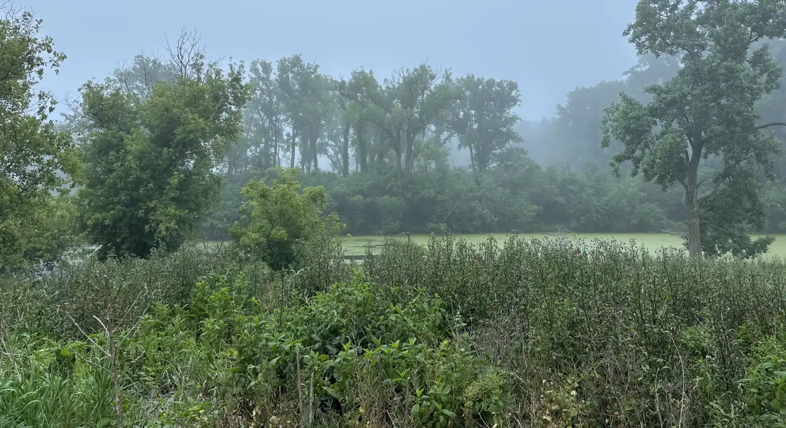
A wetland screen is the fast, affordable first step in wetland due diligence. It is a desktop review — performed entirely from government data, with no site visit — that tells a buyer or developer whether wetlands are a likely concern on a property before they commit time and money to a field study. For a $950 flat fee, A3 Environmental's scientists determine whether the property is a known or likely wetland, floodplain, or floodway, and recommend whether to proceed. Because nothing is sampled on the ground, a screen cannot prove wetlands are present or absent — but it answers the threshold question quickly and inexpensively.

What the Screen Reviews

Our scientists pull and overlay eight government GIS data sources, including the U.S. Fish & Wildlife Service National Wetland Inventory, the NRCS Web Soil Survey, FEMA floodplain maps, USGS topographic maps, and current aerial imagery. We also review antecedent precipitation records to judge whether recent conditions were wet, normal, or dry — important context, because a site can look very different on imagery taken after a drought than after a wet spring. Together these tell us whether the property carries the hallmarks of wetlands, floodplains, or floodways.

What a Wetland Actually Is

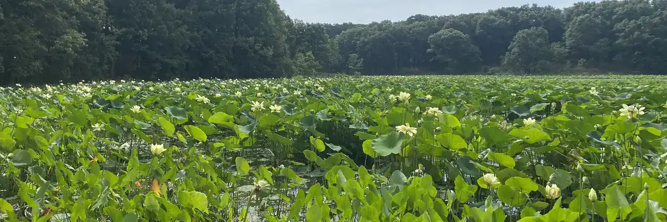
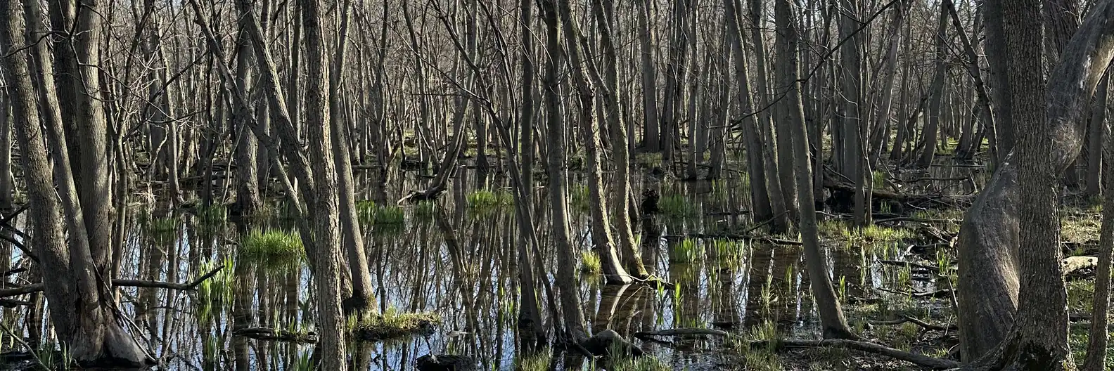
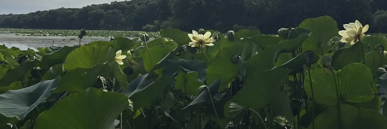
A wetland is defined by three parameters, established by the 1987 USACE Wetlands Delineation Manual and its regional supplements: hydrophytic (water-loving) vegetation, wetland hydrology, and hydric soils. All three must be present — if any one is absent, the area is not a wetland. A desktop screen looks for indicators of these conditions in the mapped data, but only a field visit can confirm them on the ground. That is why a screen reports wetlands as likely or unlikely, not as confirmed.

Our Process and What Comes Next

You send us the property address or parcel; we locate it, pull and analyze the data, review precipitation, and deliver a concise screen report with the maps behind it and a clear recommendation. If the screen comes back clear, you have an inexpensive answer that wetlands are unlikely. If it flags a likely wetland, floodplain, or floodway, the natural next step is a Wetland Confirmation — a site visit in which a scientist verifies whether wetlands are actually present, which can in turn lead to a Delineation and an Army Corps Jurisdictional Determination. Because the screen is a remote desktop review, A3 Environmental performs it across the lower 48 states — backed by a 4.9★ Google rating since 2015.

A commercial property under due-diligence review for potential wetland concerns

Frequently Asked Questions

A wetland screen is a desktop review — no site visit — that tells a buyer or developer whether wetlands are a likely concern on a property. A3 Environmental's scientists pull and analyze eight government GIS data sources to determine whether the property is a known or likely wetland, floodplain, or floodway, and the screen report ends with a clear recommendation on whether to proceed to a field Wetland Confirmation. It is the fast, affordable first step in wetland due diligence, available across the lower 48 states.
No. A wetland screen is performed entirely remotely from government GIS data and aerial imagery — our scientists do not visit the property. That is what makes it fast, affordable, and available anywhere in the lower 48 states. If the screen flags a likely wetland, the next step is a Wetland Confirmation, in which a scientist does visit the site to verify whether wetlands are actually present.
We review eight government GIS data sources, including the U.S. Fish & Wildlife Service National Wetland Inventory, the NRCS Web Soil Survey, FEMA floodplain maps, USGS topographic maps, and aerial imagery. We also review antecedent precipitation records to judge whether recent conditions were wet, normal, or dry, since that context affects how the mapped data should be read. Together these tell us whether the property is a known or likely wetland, floodplain, or floodway.
The wetland screen is a $950 flat fee with no site visit. It covers locating the property, pulling and analyzing the eight government GIS data sources, reviewing antecedent precipitation, and delivering a screen report that states whether the property is a known or likely wetland, floodplain, or floodway — with a clear recommendation on whether to proceed to a field Wetland Confirmation. Because it is a remote desktop review, there is no travel cost, so the price is the same anywhere in the lower 48 states.
A screen tells you wetlands are likely, not that they are definitely present — GIS data cannot confirm conditions on the ground. If the screen flags a likely wetland, floodplain, or floodway, the next step is a Wetland Confirmation, in which an A3 Environmental scientist visits the site to verify whether wetlands are actually present. A wetland requires all three parameters — hydrophytic vegetation, wetland hydrology, and hydric soils — and only a field visit can confirm them. If the screen comes back clear, you have an inexpensive answer that wetlands are unlikely and can proceed with confidence.
Ask About Wetland Screens